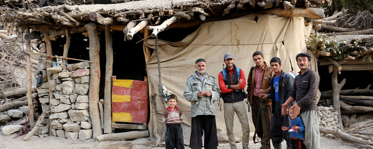
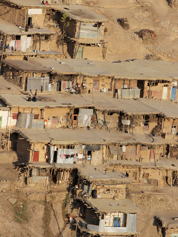
Iran Hiking in Zagros - Zarkouoh
Zagros mountain range extending northwest-southeast from the border areas of eastern Turkey and northern Iraq to the Strait of Hormuz. Zardkooh Bakhtiari or Zardkuh mountain range is located between the two great rivers Koohrang and Bazaft. This mountain with a length of 123 km and an average width of 20 km, in southwestern Iran and the westernmost part of Chaharmahal and Bakhtiari province and east and northeast of Khuzestan province. Zardkooh is one of the richest water reserves in Iran, the source of important rivers such as Karun, Karkheh, Zayandeh Rud and Dez so it’s really worth to climb this mountain.This range has many peaks above 3,000 meters and 4 important peaks above 4,000 meters. Klonchi (Klonchin) with a height of 4,221 meters, is the roof of Chaharmahal and Bakhtiari province and the highest peak of this mountain range. After Klonchi, the peaks of Haft Tanan with a height of 4,180 meters, Shah Shahidan with a height of 4,076 meters and Dozardeh with a height of 4,000 meters are the highest peaks of yellow mountain.
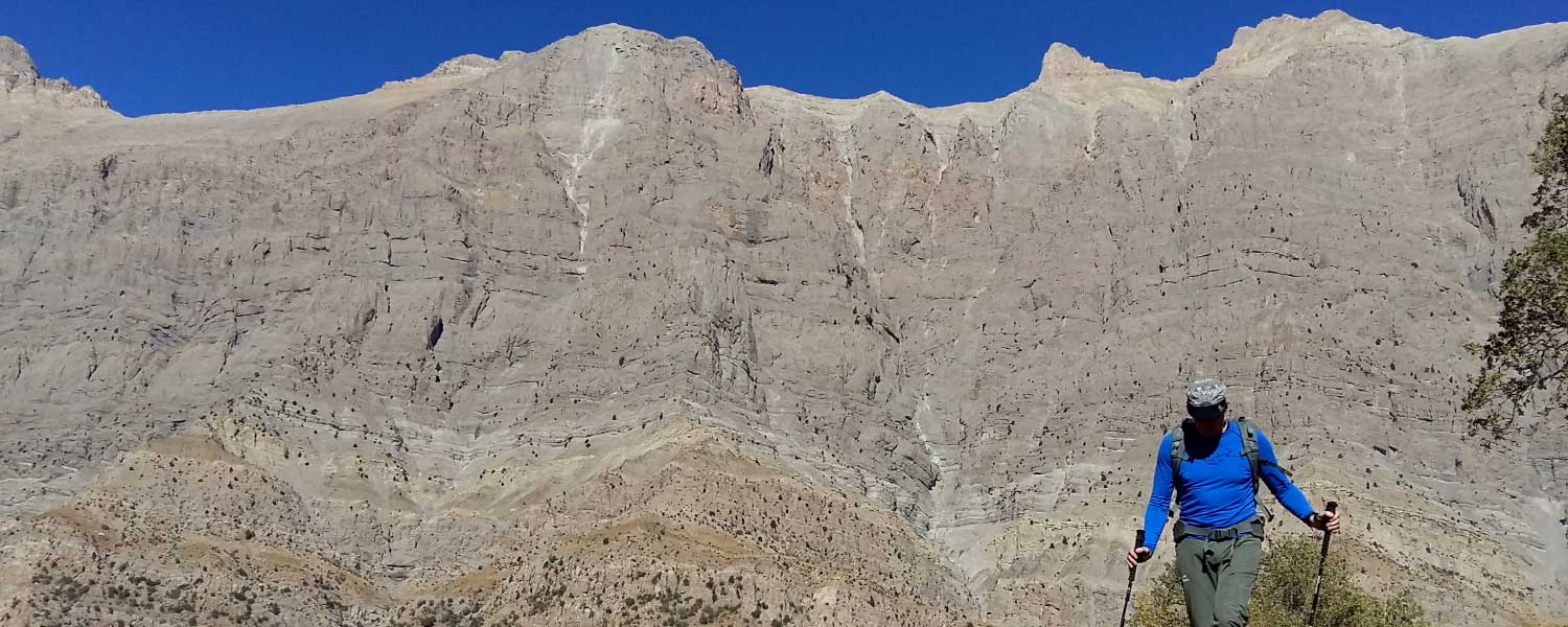
Hiking in Zagros – Dena
Dena (in Persian and Luri: دنا) is the name for a sub-range within the Zagros Mountains. Mount Dena, with 80 km length and 15 km average width, is situated on the boundary of the Isfahan, Kohgiluyeh and Boyer-Ahmad and Chaharmahal and Bakhtiari provinces.
|
|
|
|
|
|
|
| 4/Days | 5/from 10 | Hiking | May - Jun | Zagros | 4100m |
|
|
|
|
| 4/Days | 5/from 10 | Hiking |
|
|
|
|
| May - Jun | Zagros | 4100m |

Hiking in Zagros - Zardkooh
Zagros Mountains, mountain range in southwestern Iran, extending northwest-southeast from the border areas of eastern Turkey and northern Iraq to the Strait of Hormuz. The Zagros range is about 990 miles (1,600 km) long and more than 150 miles (240 km) wide.
|
|
|
|
|
|
|
| 7/Days | 6/from 10 | Hiking | April - May | Zagros | m |
|
|
|
|
| 7/Days | 6/from 10 | Hiking |
|
|
|
|
| April - May | Zagros | m |
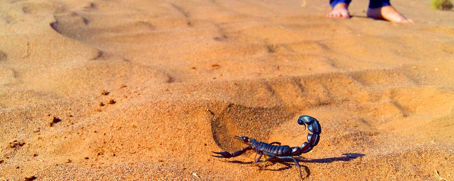
Hiking in Mesr Desert
Mesr is in the far east of Isfahan (province) in Central Iran. It is basically 420 km far from Isfahan city, and 371 km far from Yazd. Mesr is desert and also an oasis located in the central desert of Iran, (known as Dashte-Kavir in Persian). The central mountain ranges of Iran which are predominantly isolated oasis type mountains which run through the desert territory of Iran, are close by.
|
|
|
|
|
|
|
| 7/Days | 6/from 10 | Hiking | Oct - Nov - Des - Feb - Mar | Central Desert of Iran | m |
|
|
|
|
| 7/Days | 6/from 10 | Hiking |
|
|
|
|
| Oct - Nov - Des - Feb - Mar | Central Desert of Iran | m |
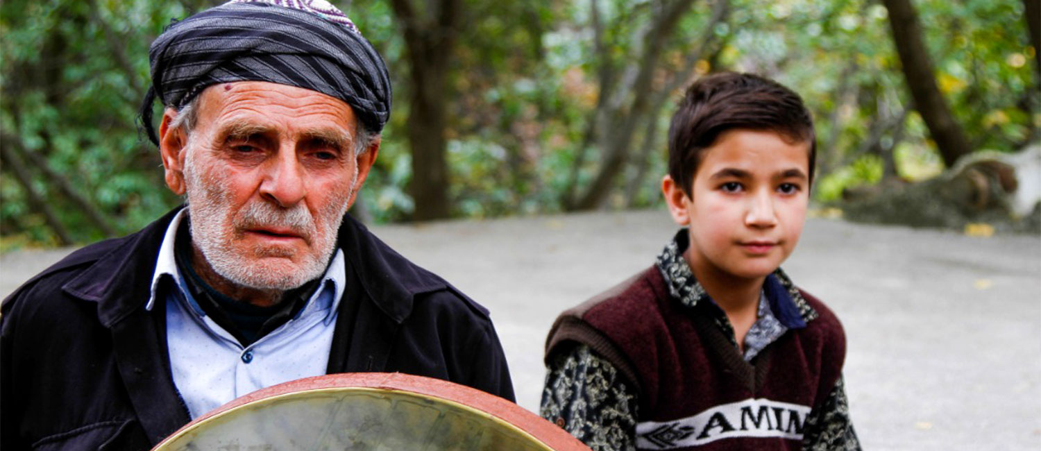
Hiking in Kurdistan / Zagros
The Zagros is one of the two long mountain ranges of Iran, which stretches from the northwestern borders to the south of Iran and has accommodated different ethnic groups and civilizations in its heart for many years. Zagros trekking tour is a combination of walking in the most pristine and remote areas of Iran and seeing the beauties of Zagros nature along with getting acquainted with the culture and way of life of the people of these areas and also visiting the oldest and most amazing ancient monuments of Iran.
|
|
|
|
|
|
|
| 10/Days | 7/from 10 | Hiking | October - April - May | Zagros Range | 3197m |
|
|
|
|
| 10/Days | 7/from 10 | Hiking |
|
|
|
|
| October - April - May | Zagros Range | 3197m |
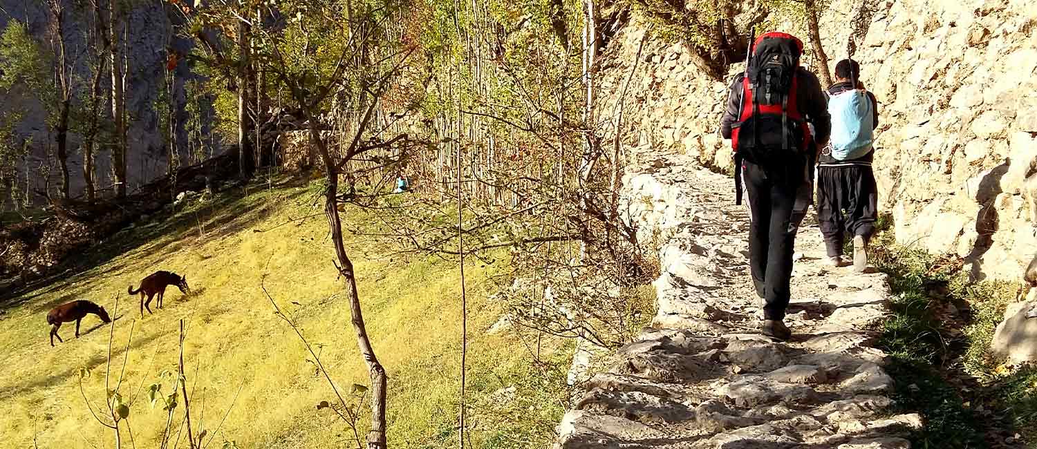
Hiking in Zagros Khuzestan / Bakhtiari / Lorestan
Bakhtiari nomads are one of the most noble and ancient Iranian tribes and also one of the largest tribes in Iran and constitute the most important nomadic community in Iran. Bakhtiari land includes parts of the six provinces of Chaharmahal and Bakhtiari, Kohgiluyeh and Boyer-Ahmad, Isfahan, Fars, Lorestan and Khuzestan. The life of nomadic people is linked to migration. They travel twice a year with their herds, go to the mountains and hills, and endure the hardships of crossing valleys, rivers and mountains to find better pastures: in spring to the mountains in their summer quarters (sardsīr or yaylāq), and in autumn to valleys and the plains in their winter quarters (garmsīr or qishlāq).
|
|
|
|
|
|
|
| 13/Days | 7/from 10 | Hiking | Oct - April - May | Zagros Range | m |
|
|
|
|
| 13/Days | 7/from 10 | Hiking |
|
|
|
|
| Oct - April - May | Zagros Range | m |
No Hidden Fees
Customization Available
Eco-certified Tours
Travel Insurance Available

for group more than 8 people, 100% discount for the guide.

for group more than 8 people 80% discount for the guide
for lead people more than 6 people 30% discount for the leader.
for lead people more than 8 people 50% discount for the leader.
