Damavand 5610m - Economic
Details
Trip Duration
4 days
Hardness
7/10
Trip Style
Mountaineering
Best Time
Jun - July - Aug
Location
Central Alborz
Max Hieght
5610m
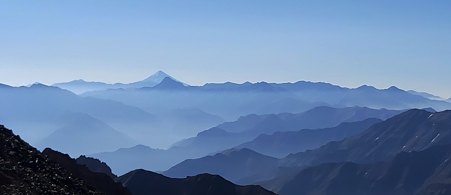
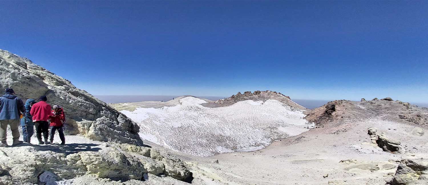
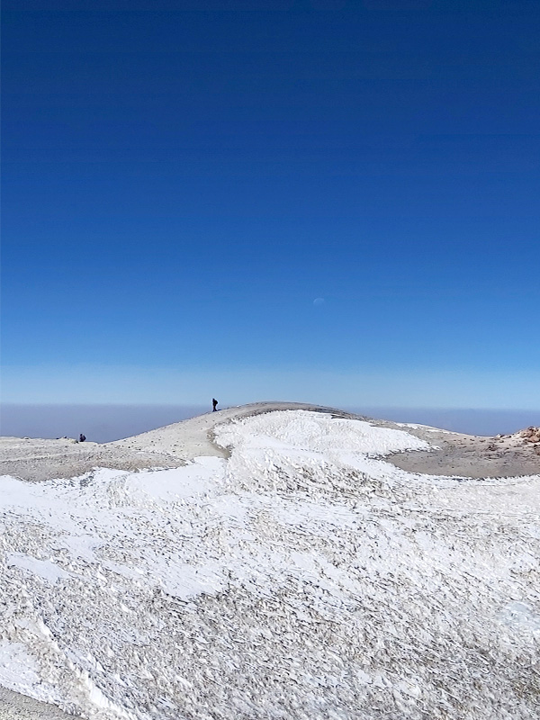
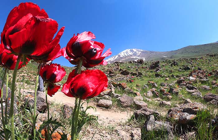
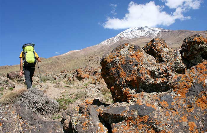
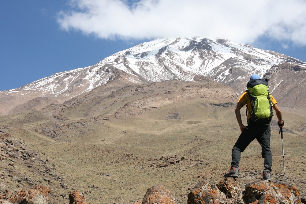
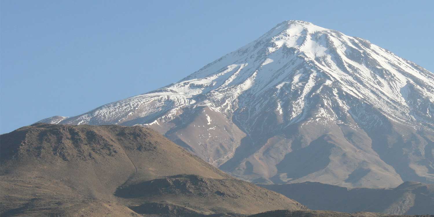
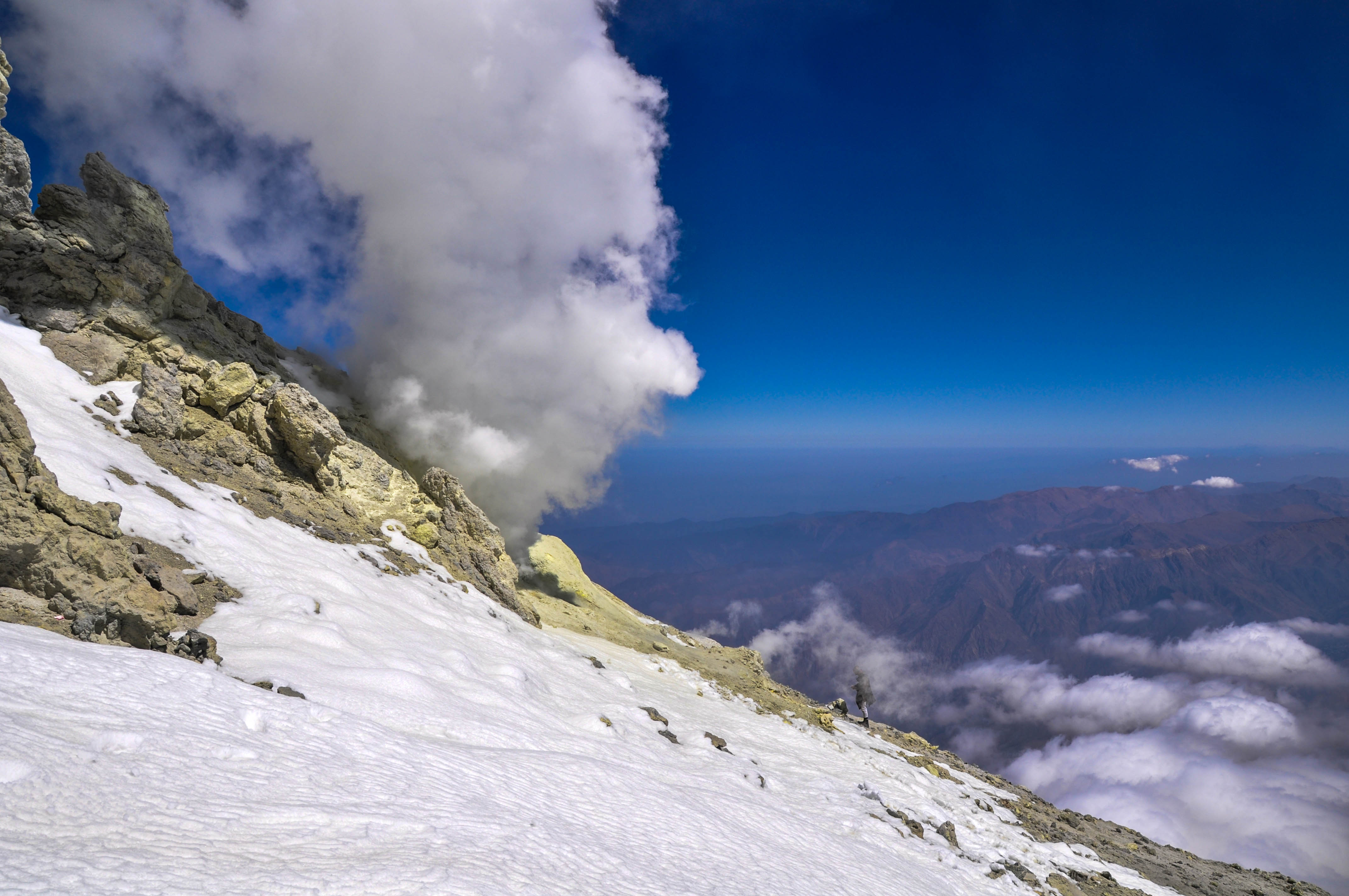
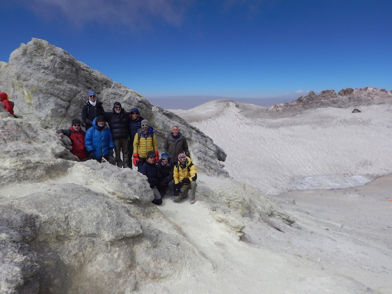
Mount Damavand also known as Donbavand, a potentially active volcano and the highest peak in Iran, has a special place in Persian mythology and folklore. Located in the middle Alborz Range, adjacent to Varārū, Sesang, Gol-e Zard and Mīānrūd, it is the highest point in the Middle East and the highest volcano in all of Asia. It is a potentially active volcano, since there are fumaroles near the summit crater emitting sulfur. The mountain is located near the southern coast of the Caspian Sea, in Āmol county, Māzandarān, 66 kilometres (41 miles) northeast of Tehran.
The main routes to climb Damavand mountain:
Southern face: this face is the oldest and easiest way to climb Damavand Peak. To access this route, you should start your ascent from Rineh village. There are two mountain hut at 4,200 meters on this front.
Western face: This route is also one of the ways to climb Damavand peak. To go to the western route, you have to go to Haraz and Plour roads and from there enter the Lar dam road and then enter the dirt road of the western front. There is a shelter called Simorgh at an altitude of 4150 meters on this face.
Northeastern face: The northeastern route is another way to climb Damavand Peak, which is longer than the other routes. There is a shelter at 4,300 meters called Takht Fereydoun and two eco-camps on this route.
Northern face: The beginning of this route starts from Nandel village and the northern part of Damavand mountain in Cham-e-Ben plain. There is a shelter at altitudes of 4000 and one in 4800 meters on this face.
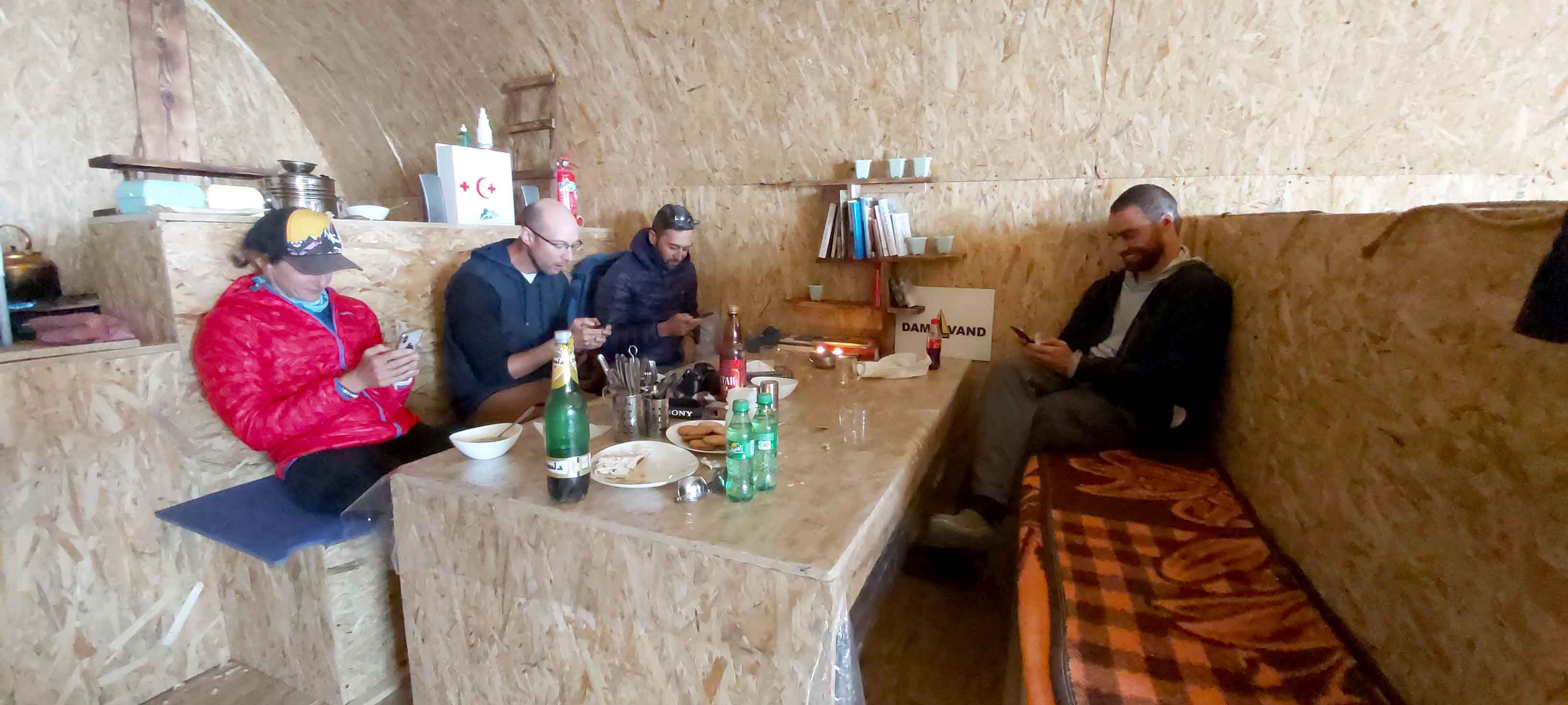
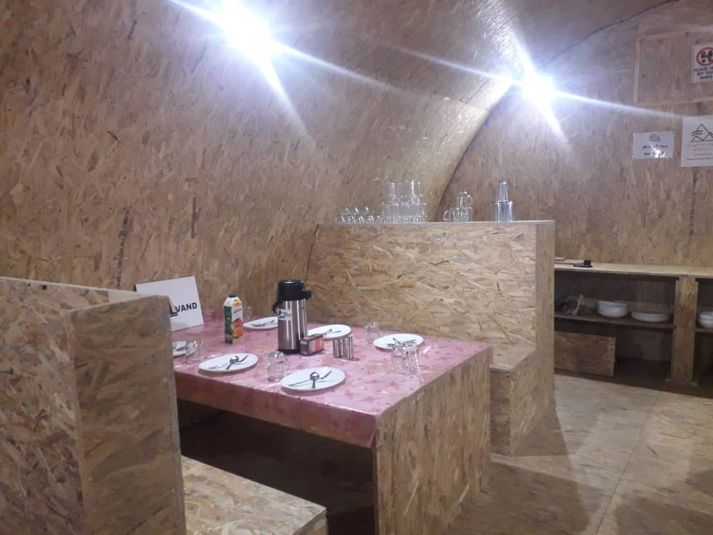
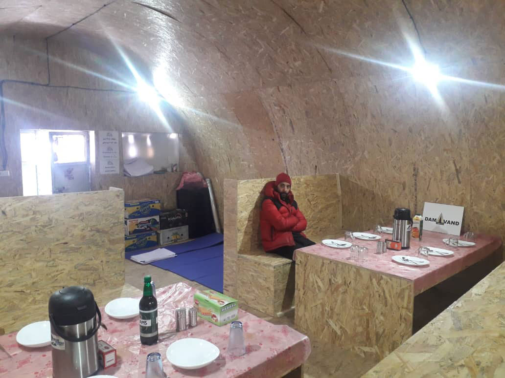
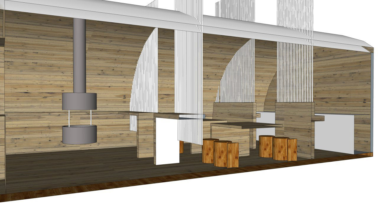
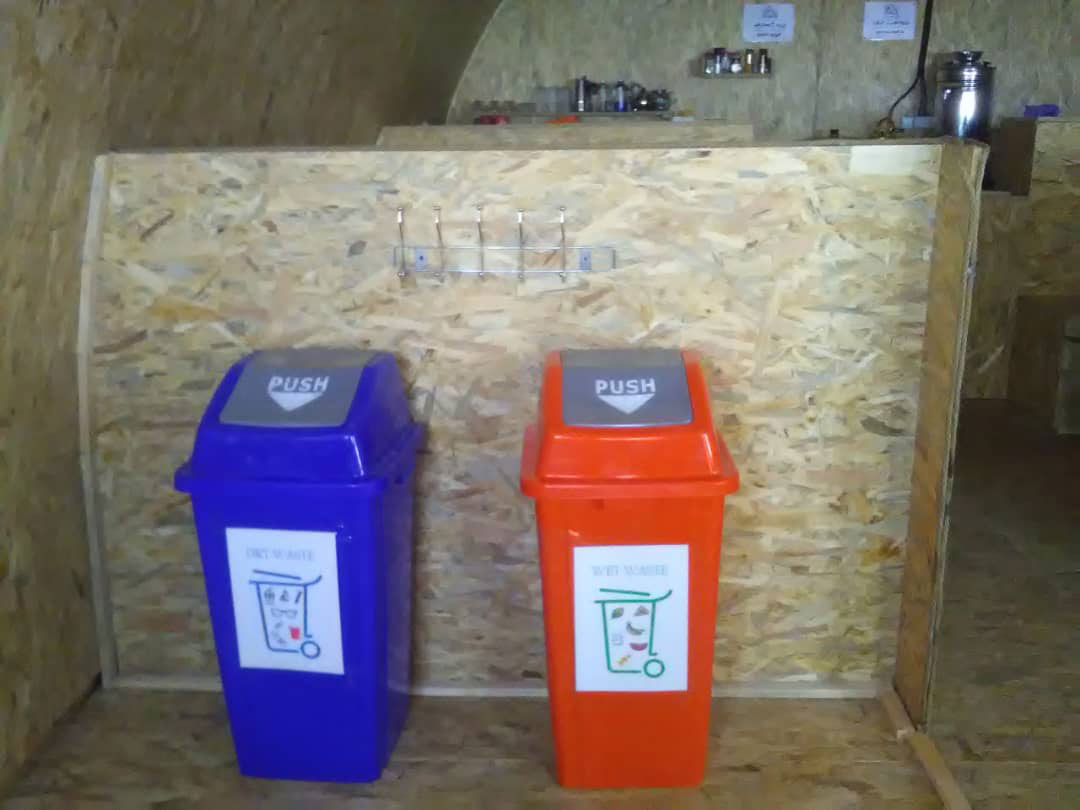
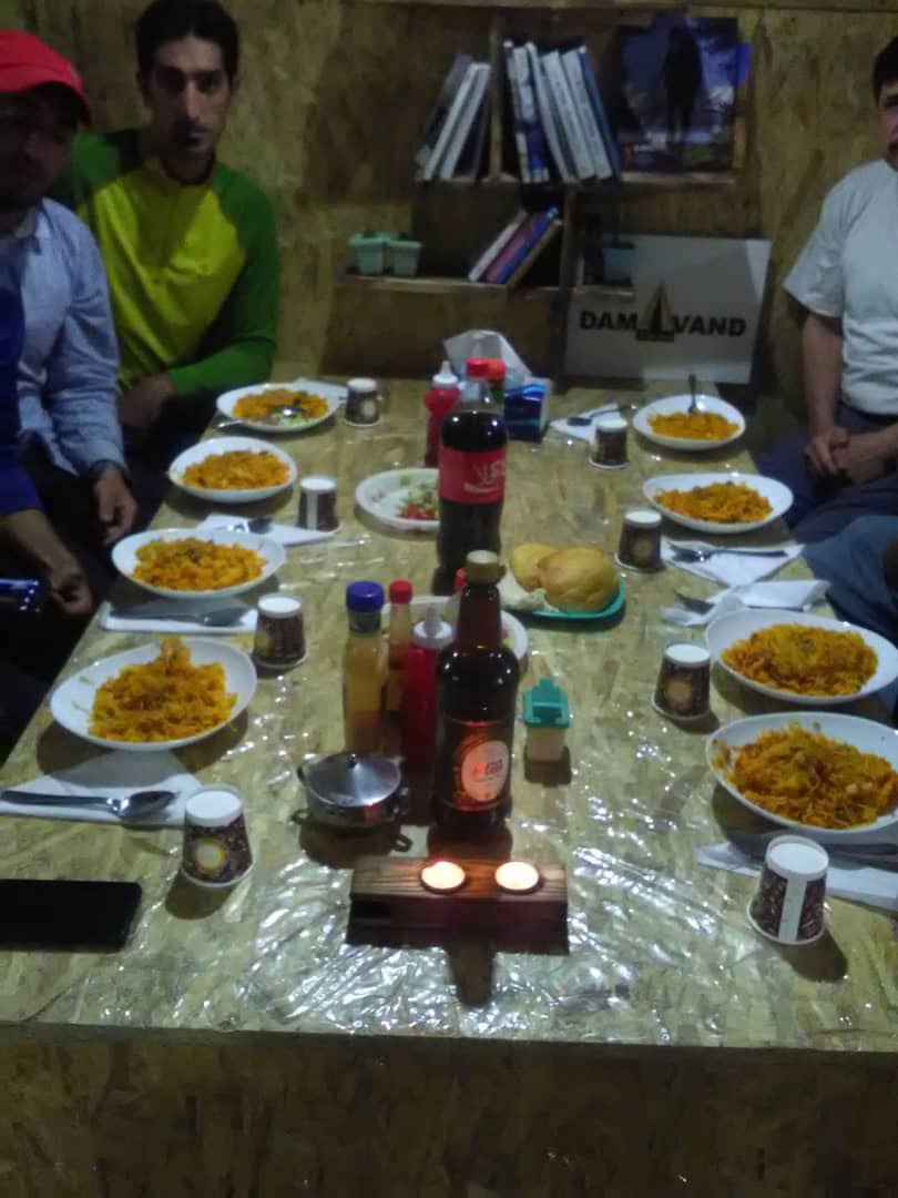
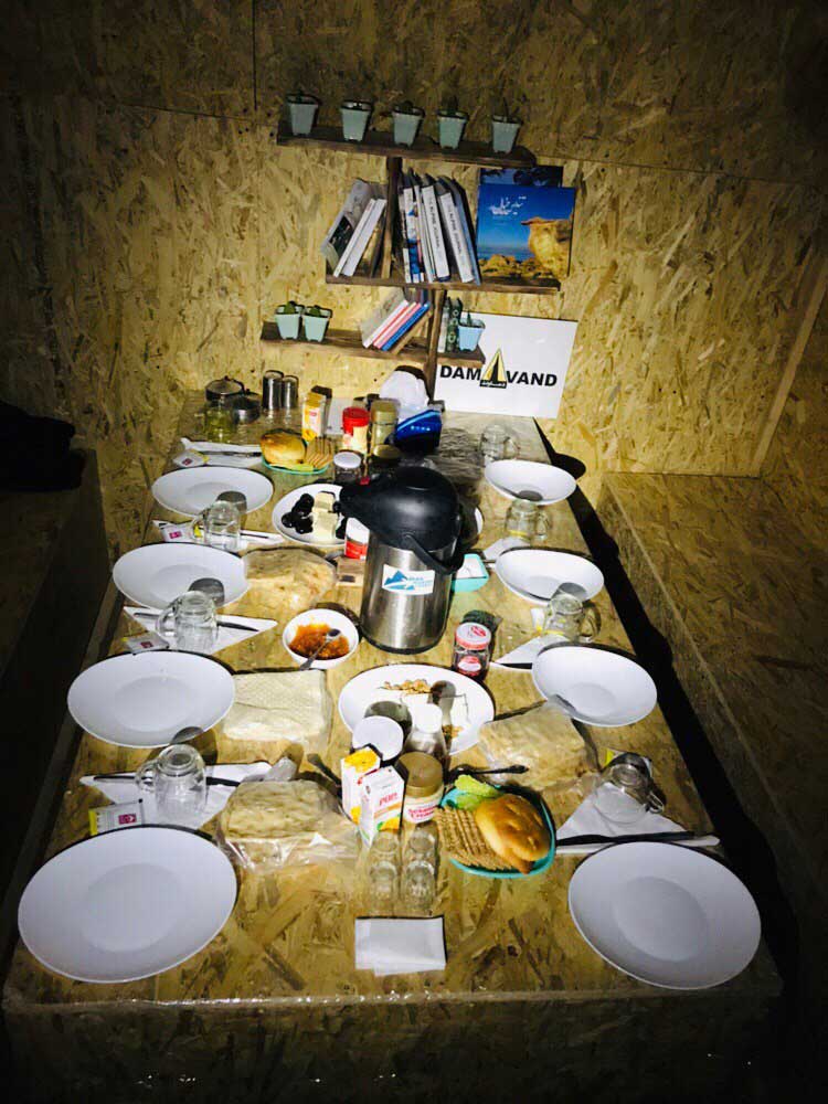
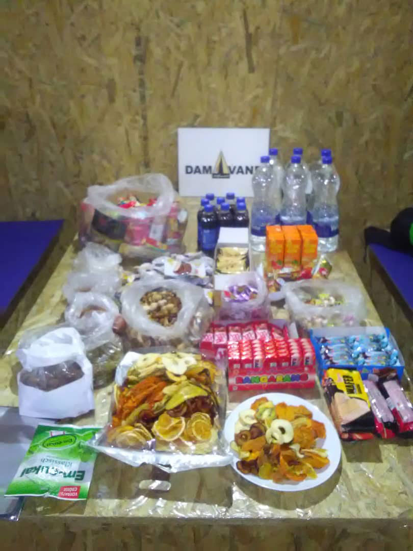
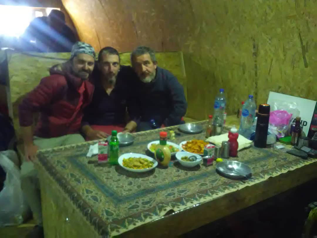
The most popular route is the Southern Route which has step stamps and also a camp midway called Bargah Sevom Camp/Shelter at 4200m (about 13,845 ft). IMT has a very nice renew private camp in 4150m that is use for IMT clients. Include electricity- mattress- Wifi – hot water- table etc..
Highlights
Itinerary
-
Day 1:
Transfer to Reineh
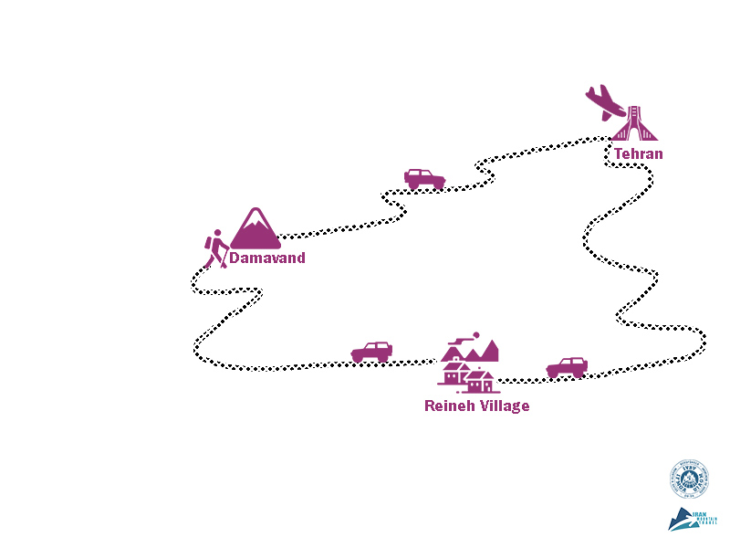
Arrival IKA. transfer to Reineh village 2050m south of Damavand. take a walk around the village.
Accommodation :Mountaining Complex Food service :L,D
-
Day 2:
High Camp
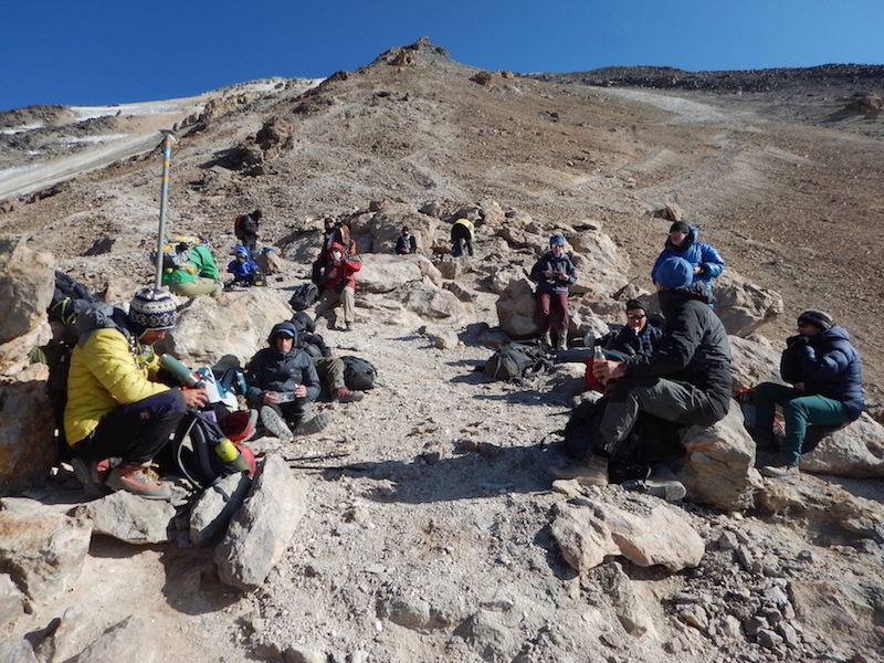
After breakfast drive up to 3000m. start climbing 4hours up to high camp 4200m. VIP mountain hut include wifi, kitchen, mattress FB services. luggage will carry by the mules up to the camp. climb up to 4500m for acclimatization.
Accommodation :Tent / Hut Food service :B,L,D
-
Day 3:
Summin day
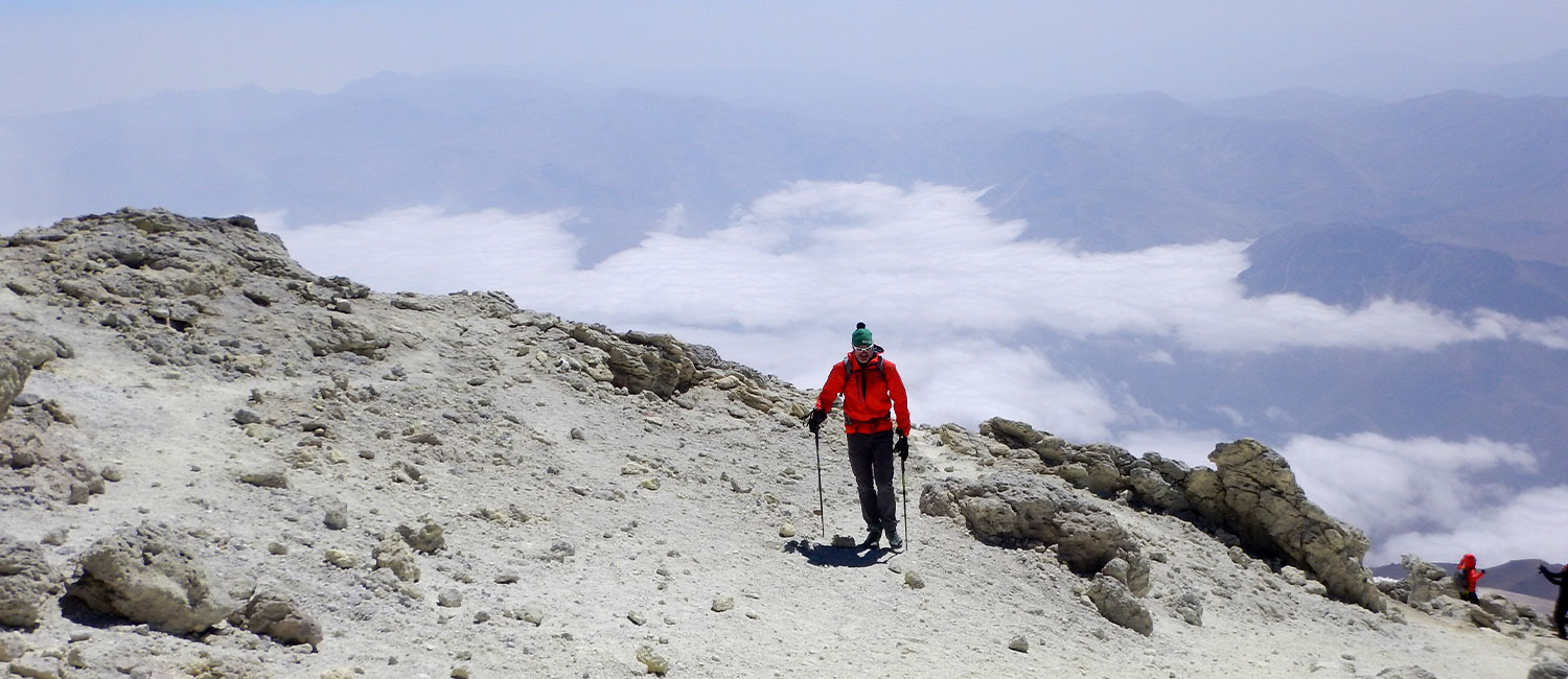
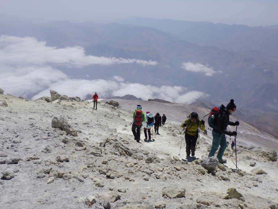
Team leave in the morning (around 5 am) for the summit. The climbing takes between 6-8 hours depending on the pace and descend about 2-3 hours down to the hut. Team head back down to the base camp (3 hours) from where they’d been transferred to Reineh.
Accommodation :Mountaining Complex Food service :B,L,D
-
Day 4:
Rest and Departure
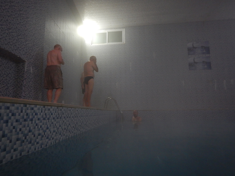
Visit and swim in mineral hot water village. goodby meal. driving to Tehran in the afternoon. Departure
Accommodation :NON Food service :B,L
Services
Infography
Equipment

for group more than 8 people, 100% discount for the guide.

for group more than 8 people 80% discount for the guide
for lead people more than 6 people 30% discount for the leader.
for lead people more than 8 people 50% discount for the leader.
Details
Trip Duration
4 days
Hardness
7/10
Trip Style
Mountaineering
Best Time
Jun - July - Aug
Location
Central Alborz
Max Hieght
5610m
Mount Damavand also known as Donbavand, a potentially active volcano and the highest peak in Iran, has a special place in Persian mythology and folklore. Located in the middle Alborz Range, adjacent to Varārū, Sesang, Gol-e Zard and Mīānrūd, it is the highest point in the Middle East and the highest volcano in all of Asia. It is a potentially active volcano, since there are fumaroles near the summit crater emitting sulfur. The mountain is located near the southern coast of the Caspian Sea, in Āmol county, Māzandarān, 66 kilometres (41 miles) northeast of Tehran.
The main routes to climb Damavand mountain:
Southern face: this face is the oldest and easiest way to climb Damavand Peak. To access this route, you should start your ascent from Rineh village. There are two mountain hut at 4,200 meters on this front.
Western face: This route is also one of the ways to climb Damavand peak. To go to the western route, you have to go to Haraz and Plour roads and from there enter the Lar dam road and then enter the dirt road of the western front. There is a shelter called Simorgh at an altitude of 4150 meters on this face.
Northeastern face: The northeastern route is another way to climb Damavand Peak, which is longer than the other routes. There is a shelter at 4,300 meters called Takht Fereydoun and two eco-camps on this route.
Northern face: The beginning of this route starts from Nandel village and the northern part of Damavand mountain in Cham-e-Ben plain. There is a shelter at altitudes of 4000 and one in 4800 meters on this face.
The most popular route is the Southern Route which has step stamps and also a camp midway called Bargah Sevom Camp/Shelter at 4200m (about 13,845 ft). IMT has a very nice renew private camp in 4150m that is use for IMT clients. Include electricity- mattress- Wifi – hot water- table etc..

for group more than 8 people, 100% discount for the guide.

for group more than 8 people 80% discount for the guide
for lead people more than 6 people 30% discount for the leader.
for lead people more than 8 people 50% discount for the leader.
Highlights
Itinerary
-
Day 1:
Transfer to Reineh
Arrival IKA. transfer to Reineh village 2050m south of Damavand. take a walk around the village.
Accommodation :Mountaining Complex
Food service :L,D
-
Day 2:
High Camp
After breakfast drive up to 3000m. start climbing 4hours up to high camp 4200m. VIP mountain hut include wifi, kitchen, mattress FB services. luggage will carry by the mules up to the camp. climb up to 4500m for acclimatization.
Accommodation :Tent / Hut
Food service :B,L,D
-
Day 3:
Summin day
Team leave in the morning (around 5 am) for the summit. The climbing takes between 6-8 hours depending on the pace and descend about 2-3 hours down to the hut. Team head back down to the base camp (3 hours) from where they’d been transferred to Reineh.
Accommodation :Mountaining Complex
Food service :B,L,D
-
Day 4:
Rest and Departure
Visit and swim in mineral hot water village. goodby meal. driving to Tehran in the afternoon. Departure
Accommodation :NON
Food service :B,L
Services
Infography

Equipment
