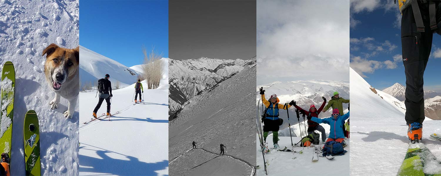
Best Iran's ski tours
Best Iran's ski tours
In general, there are two mountain ranges for skiing in Iran, Which you can choose according to your travel time and the type of ski tour you have in mind.
Alborz mountain range
Alborz mountain range with a length of 950 and a width between 25 to 110 km covers 51,500 square kilometers of Iran. This mountain is formed from the sediments of the first to third geological periods and during movements in the fourth period so the mountain range isn’t only dazzling but also historical.
The highest mountain in the Alborz and Iran mountains is Damavand 5,610 meters, which is located in Mazandaran province, near Tehran. It’s good to know that most of the above 4,000 meters peaks of Iran locate in Alborz mountain range, including Damavand, Alamkooh, Takht-e Suleyman, Kholeno, Sarakchal, Kolun Bastak, Azad kuh, Shah Alborz, Sialan, Dobrar and etc…
Different parts of Alborz mountain range
From the stratigraphic aspect, Alborz mountain range is divided into three parts:
- Eastern: starts from Firoozkuh river and Talar river and continues to Gorgan river. This front is adventurous and virgin. Alamkooh and Takht -e- soleiman area, especially the southern side of the mountain is a beautiful and atractive place for ski Touring in the spring in Iran. Due to heavy rainfall in winter in the area and many peaks over 4000 meters it is a suitable place for skiing to mid-spring. Peaks such as: Lashgarak – Gardonkooh – Chaloon and many other peaks in the area in the spring and in favorable conditions the main peak Alamkooh 4860m is also good to ascend. It is also a good place for acclimatization before climbing Damavand. you can see a spectacular view of Alborz mountains over the 4000 meters high peak.
- Central Alborz: starts from Sefidrud and extends to Firoozkuh and Talar rivers. This face is 330 km long and average width of 85 km and has two main features compared to the other two parts of Alborz (west and east); first, the highest mountains of the Alborz mountain range are located in this part and the second, the wettest and most rivers are located in this part of Alborz. Central part of Alborz is include many 4000m peaks suitable for ski touring also because of plenty of snow in the winter is include big ski resorts like Dizin, Darbandsar ,Tochal, Shemshak .
- Western: starts from Astara river and ends in Sefid-rud
The front is 270 km long and its highest peak called Aghdagh peak (3,303 meters). The width of the western mountain is 30 km in the northern areas, about 60 km in the central parts and about 110 km in the eastern parts, which ends in the Sefid-rud valley. The narrowest point of western Alborz has 25 km wide and the altitudes in the east are gradually decreasing, often less than 3,500 m.
Alborz Specification for ski Winter in Alborz starts earlier and is longer due to the northern nature of this mountain range. But compared to the Alps, the winter in Alborz starts a little later, around the end of December, and continues until early March. Of course, many parts of Alborz can be skied even until May. Like the Alps, the northern side of Alborz have more snow and in high cold condition you will even experience powder snow in Alborz. In general, due to the fact that Alborz is younger than the Zagros, we will have more technical and steep areas in Alborz. Also, in general, the weather in Alborz is colder and more humid than in the Zagros.
Zagros Mountain range
Zagros is the longest range in Iran, northern Iraq and southeastern Turkey. This mountain range has a total length of 1,600 km. The Zagros mountain range begins in northwestern Iran and roughly follows Iran's western border, while covering much of southeastern Turkey and northeastern Iraq. From this border region, the range roughly follows Iran's coast on the Persian Gulf. It spans the whole length of the western and southwestern Iranian plateau, ending at the Strait of Hormuz. The highest point is Mount Dena, at 4,409 metres (14,465 ft). Zagros Mountain range is the longest range in Iran, northern Iraq and southeastern Turkey. This mountain range has a total length of 1,600 km. The Zagros mountain range begins in northwestern Iran and roughly follows Iran's western border, while covering much of southeastern Turkey and northeastern Iraq. From this border region, the range roughly follows Iran's coast on the Persian Gulf. It spans the whole length of the western and southwestern Iranian plateau, ending at the Strait of Hormuz.
The highest point is Mount Dena, at 4,409 metres (14,465 ft). zard Kuh (meaning “Yellow Mountain”, also spelled Zardkuh, Zarduh Kuh or Zard Kuh-e Bakhtiari is a sub-range in the central Zagros Range, Iran. With an elevation of 4221 metres, the Zardkuh is located in the Zagros Mountains in the Chaharmahal and Bakhtiari Province of Iran. There are some glaciers on the mountain owing to the relatively high precipitation, which are the only glaciers in the subtropics outside the Himalayas, Andes and Trans-Mexican Volcanic Belt Geologically.
Zagros Specification for ski
The ski areas in the Zagros are generally further south than Alborz and the winters in the Zagros are shorter. Winter begins in January and lasts until late February. Usually after February, Zagros snow condition is not suitable for skiing. The Zagros mountain range is less steep than Alborz due to its longer life and as a result of more erosion, and is generally warmer and drier than Alborz. If you are in the Zagros in the right season, usually in early February, and you encounter enough snowfall, this area will bring you a unique ski tour. The prevailing wind in this region is from the southwest and the Mediterranean side.